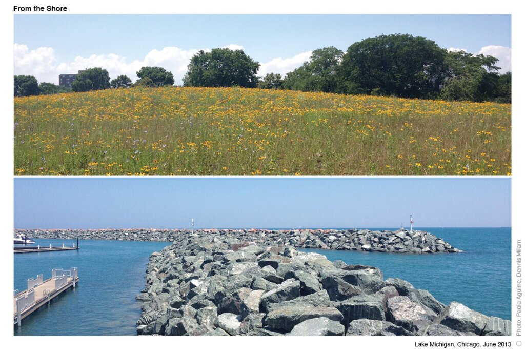
From the Shore

RESEARCH + URBANISM
What does a mile mean? We asked ourselves this question as we took on this exercise. As of today, for us, it means 1,164 photographs; it means 1,760 steps; it means 120 minutes. From the Shore is a systematic recording of the shoreline of Lake Michigan; where the water meets the land. Lake Michigan has a 1,638-mile shoreline. That means 1,906,632 images to document.
This project documented through photography 20-miles of the Chicago waterfront seeking to provide a new perspective of experiencing this unique open and accessible shoreline.
As digital media becomes the strongest communication tool of our time, sharing images from any given place has become highly relevant. Everyone wants to know how does it look “being” there. That is the success of the Google Maps phenomena. Nevertheless, Google Maps is only done from the street. Maybe it is time to figure out the next step. How to record systematically relevant spaces that are limited to vehicle access? Or maybe this is jus a new excuse for large-scale collaborative projects, and to engage people to walking this line.

process
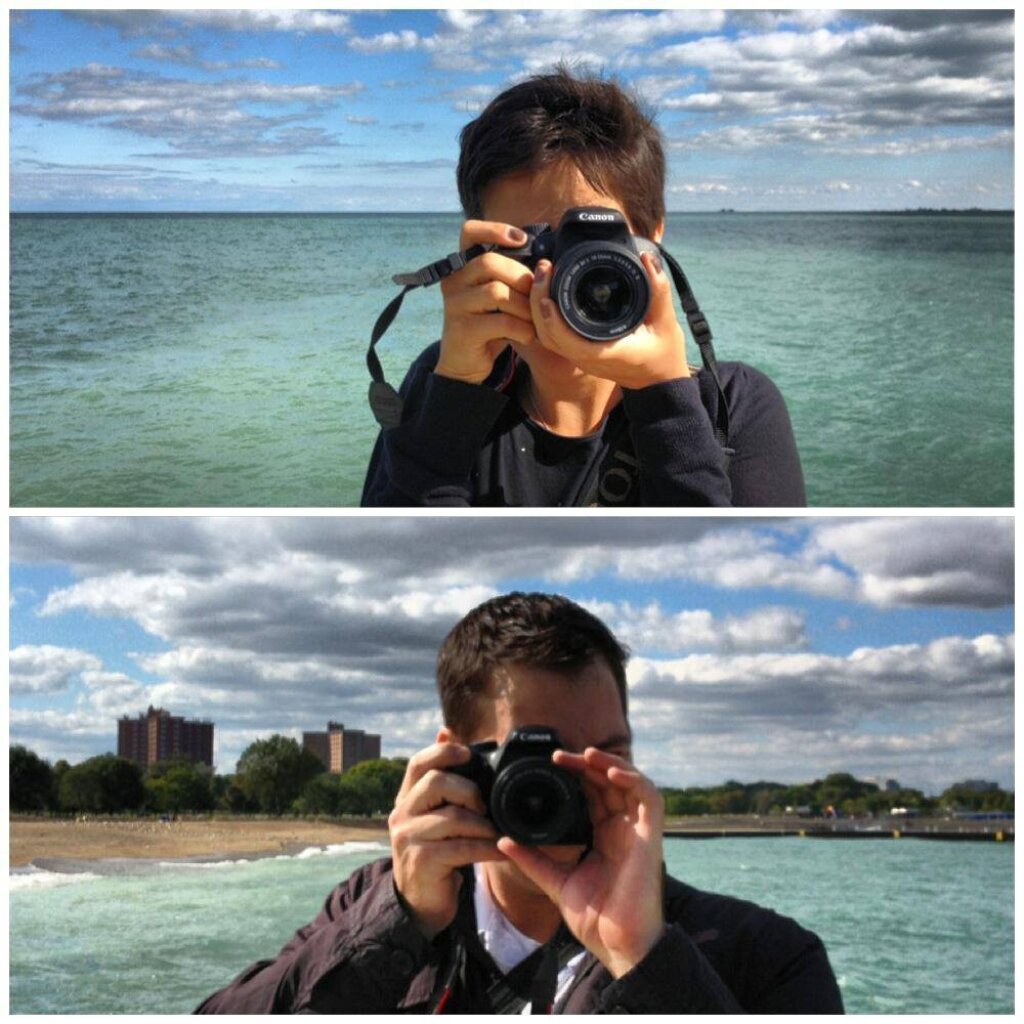
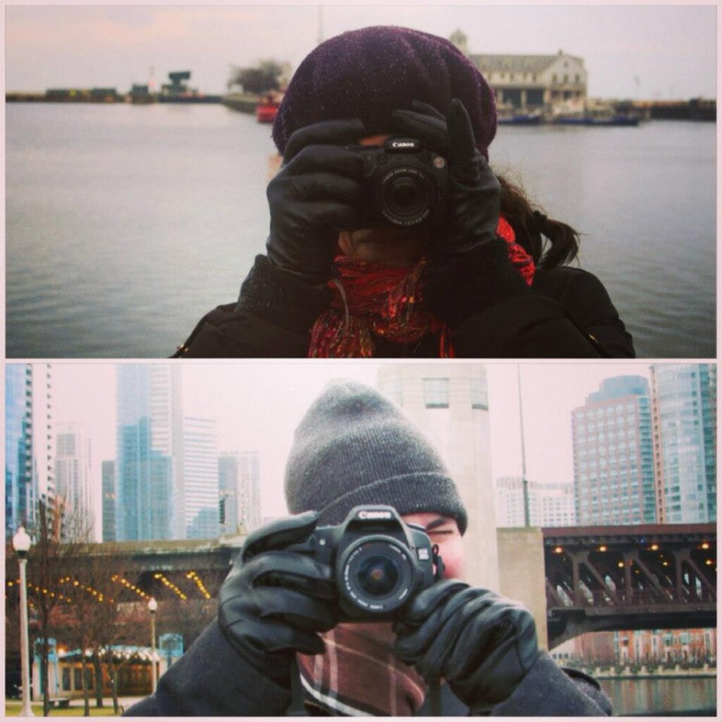
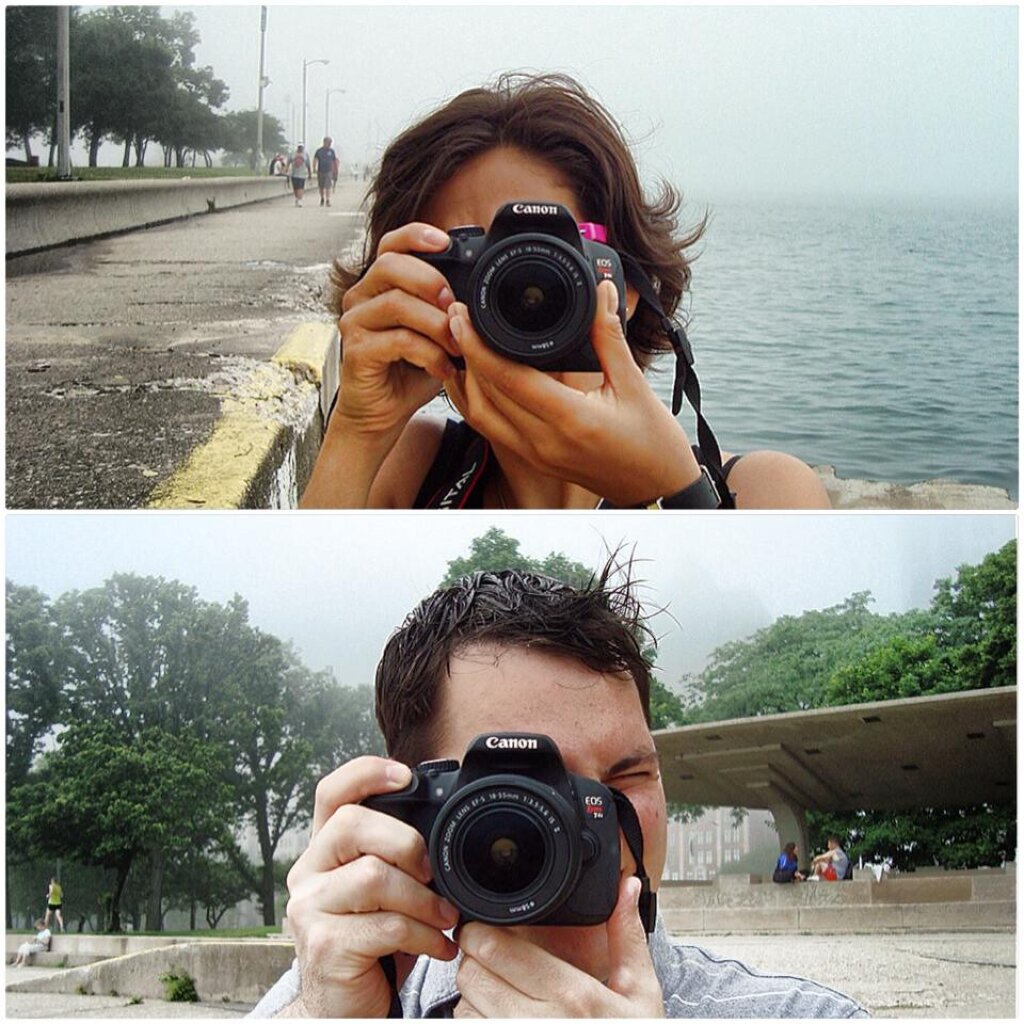
One mile at the time
The recording process was very simple guidelines: (1) Take a photograph every 9 feet, (2) at eye level, (3) perpendicular to the line followed, (4) documenting both sides of the edge condition. The starting point is Chicago’s lakefront, Madison Street as the north/south. As we question the value of this recording, so far we are concerned with the idea of a system that can be recreated by anyone, anywhere.